Coastal Gazetteer
Components
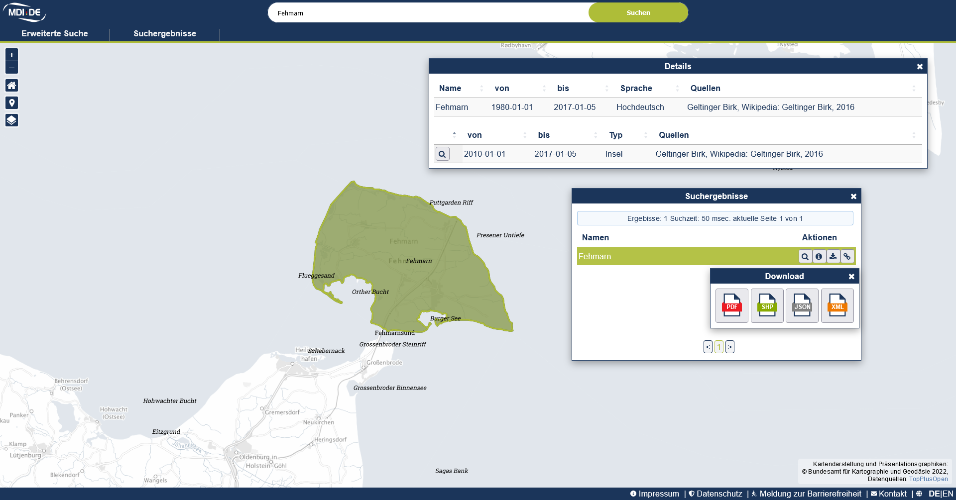
The Coastal Gazetteer is a tool that documents geographic names in the German coastal zone. The central components include a place name register that can be integrated into a geoportal as a web service and an integration into metadata acquisition.
Special features of the coastal gazetteer are its
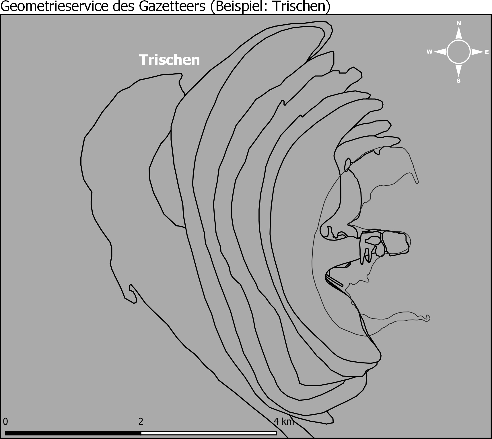
- history management to take into account the changes in shape and extent of structures in the Wadden Sea, which are influenced by tidal events, and
- multilingualism to capture local language diversity.
In the two projects NOKIS (2001-2008) and MDI-DE (2010-2013), which were funded by the German Coastal Engineering Research Council (KFKI), the basis for the Coastal Gazetteer has been developed. Since 2014, updates of the data base and functional adaptations have been carried out within the framework of the VKoopUIS MDI-DE.
Data base
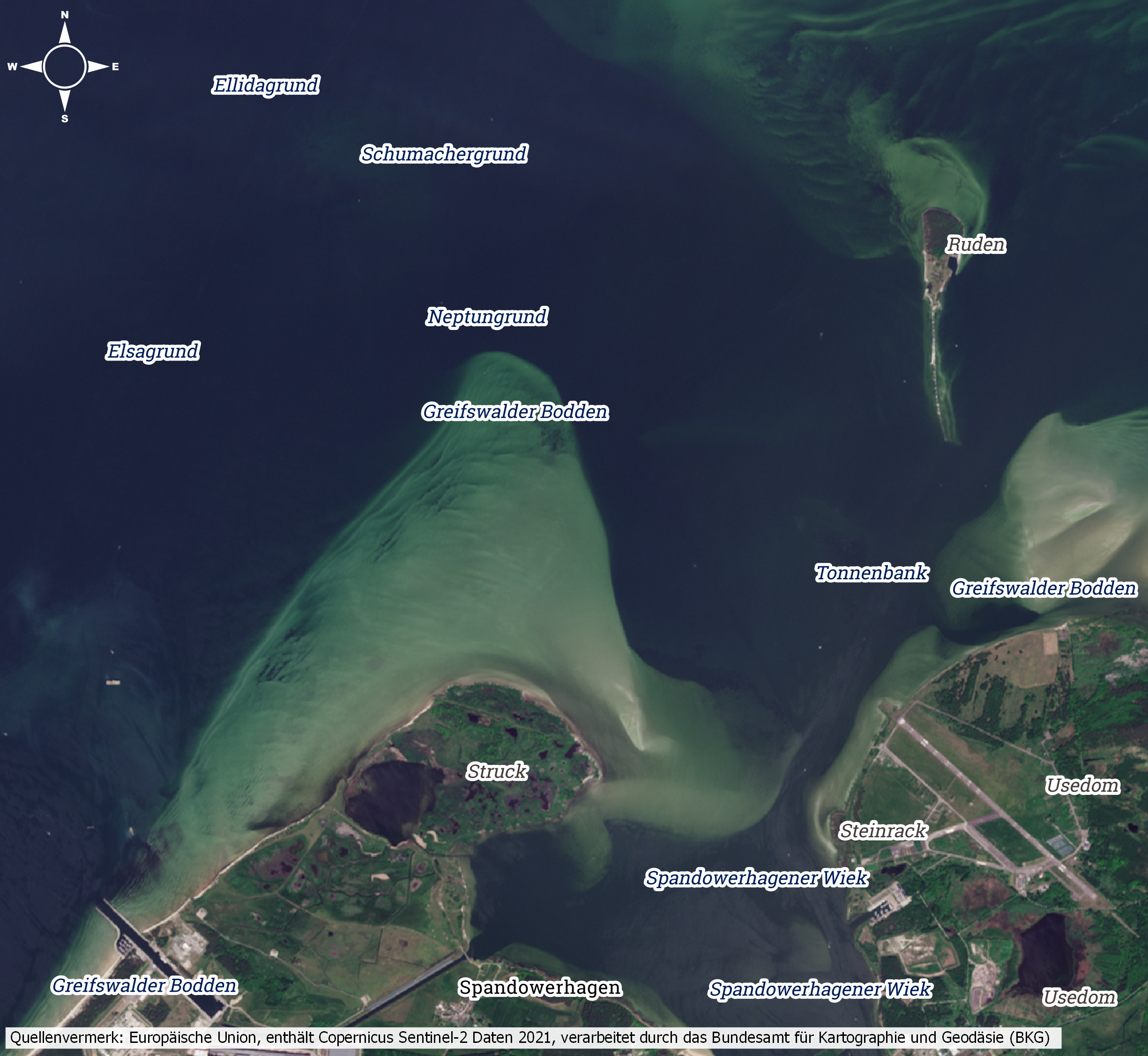
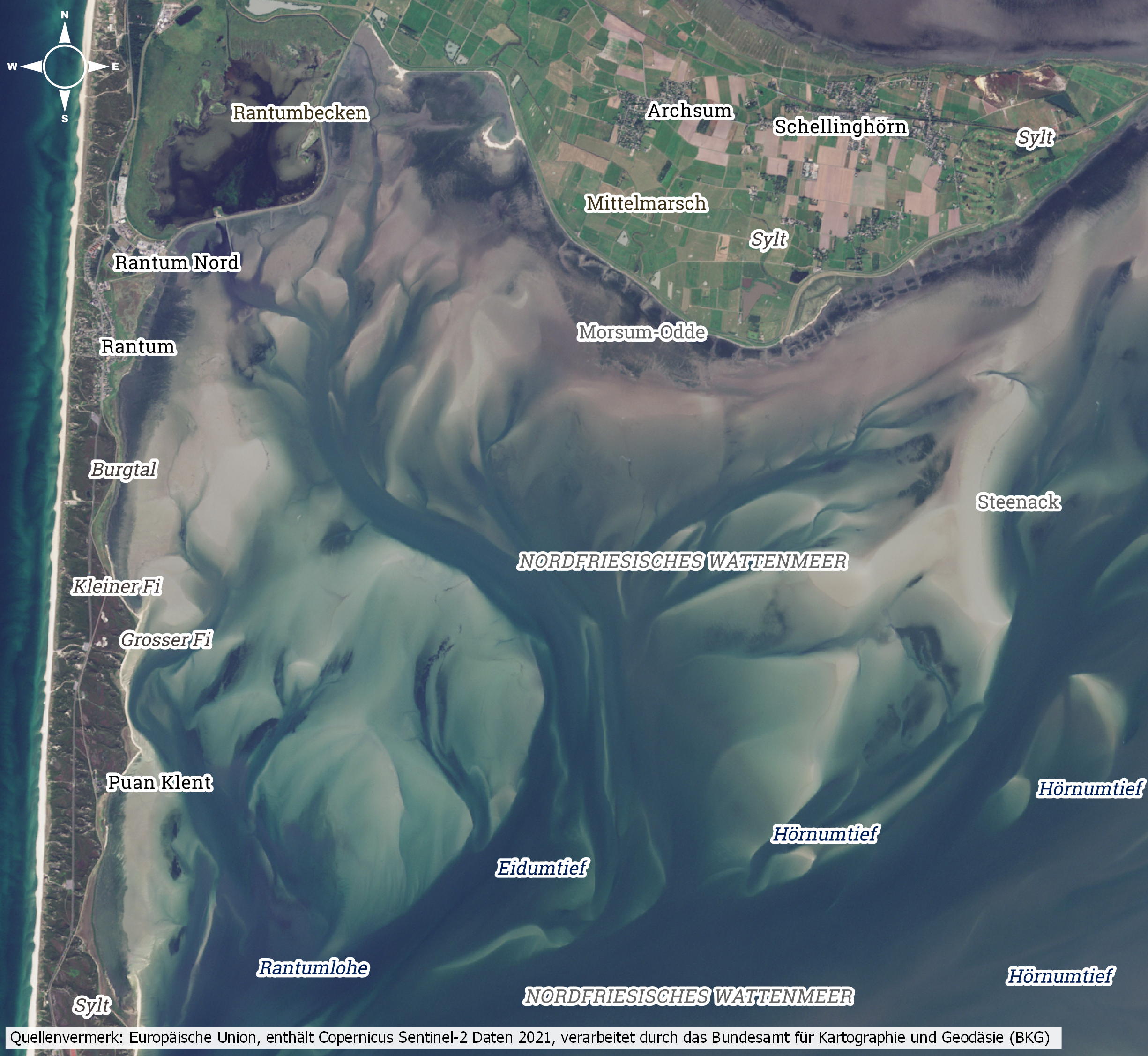
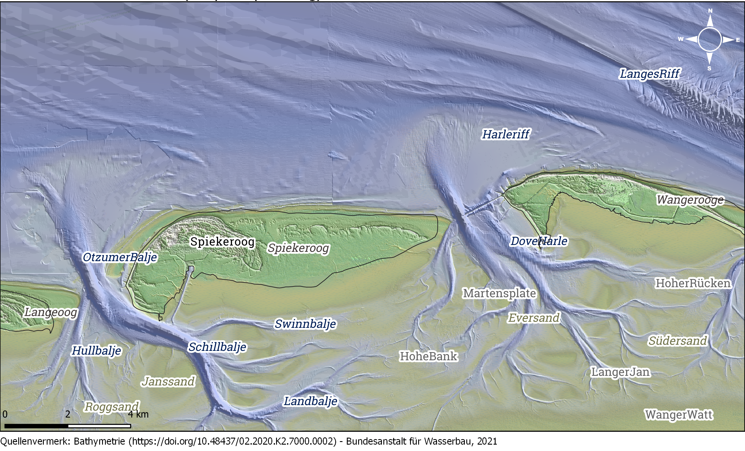
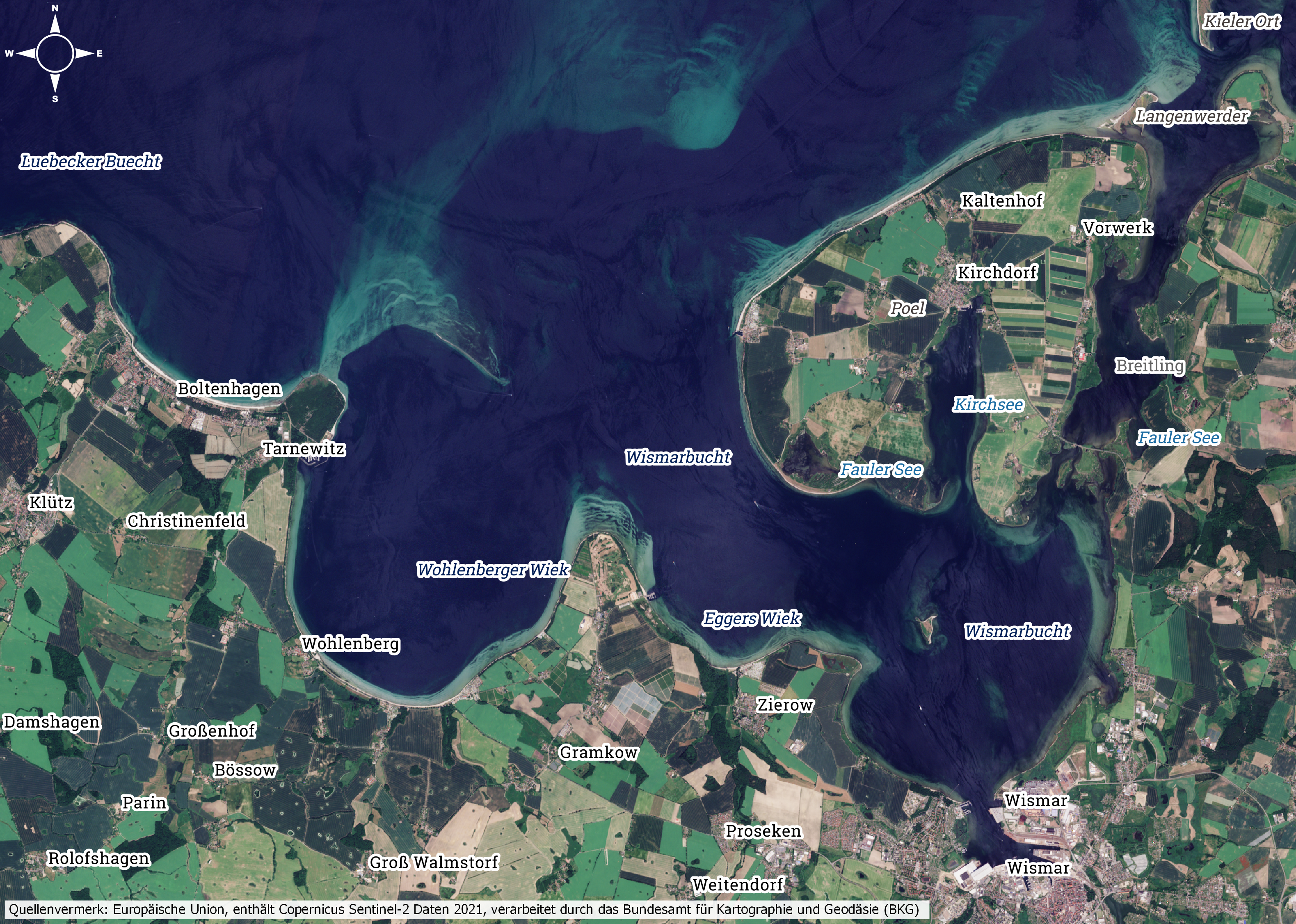
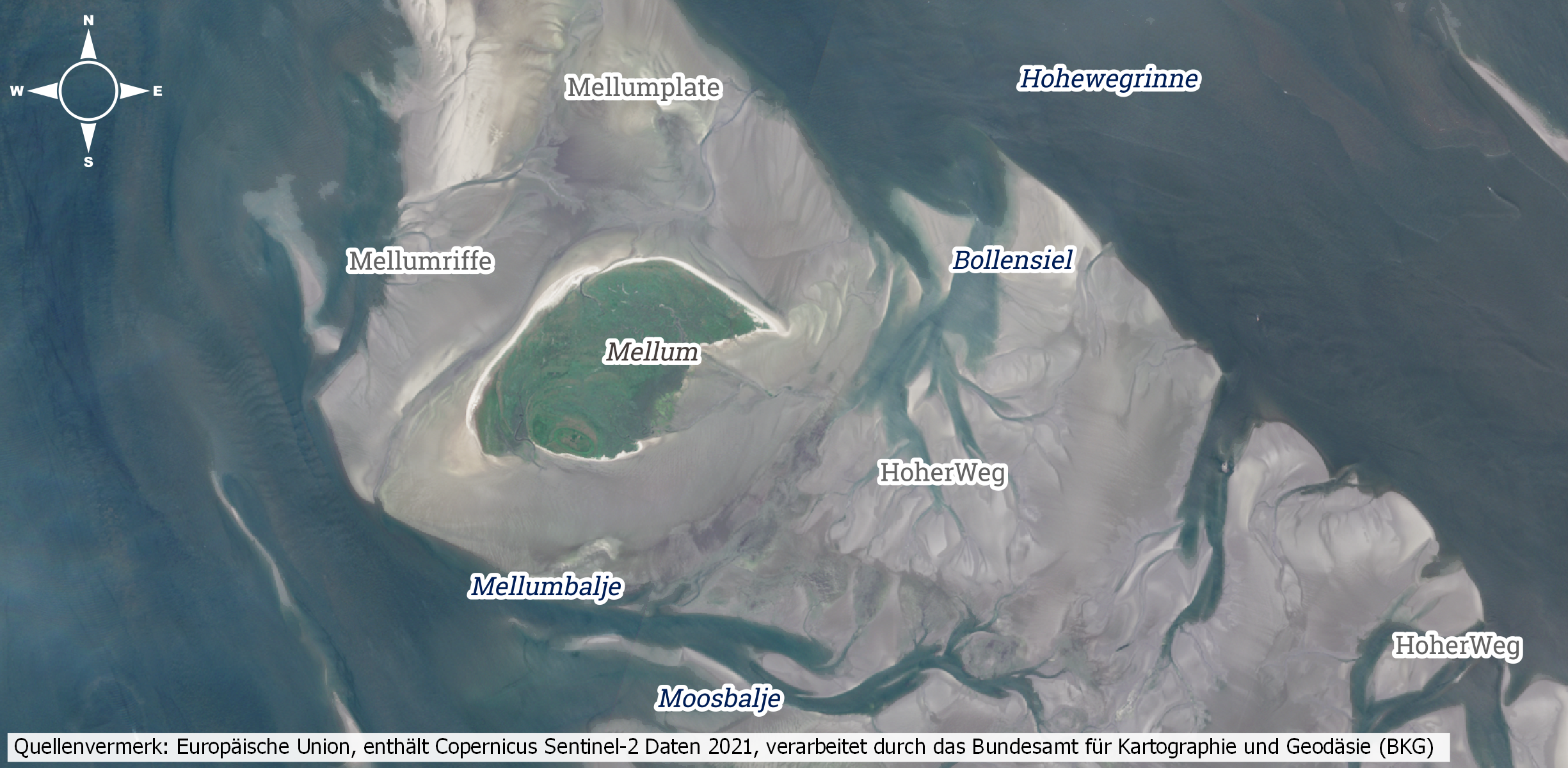
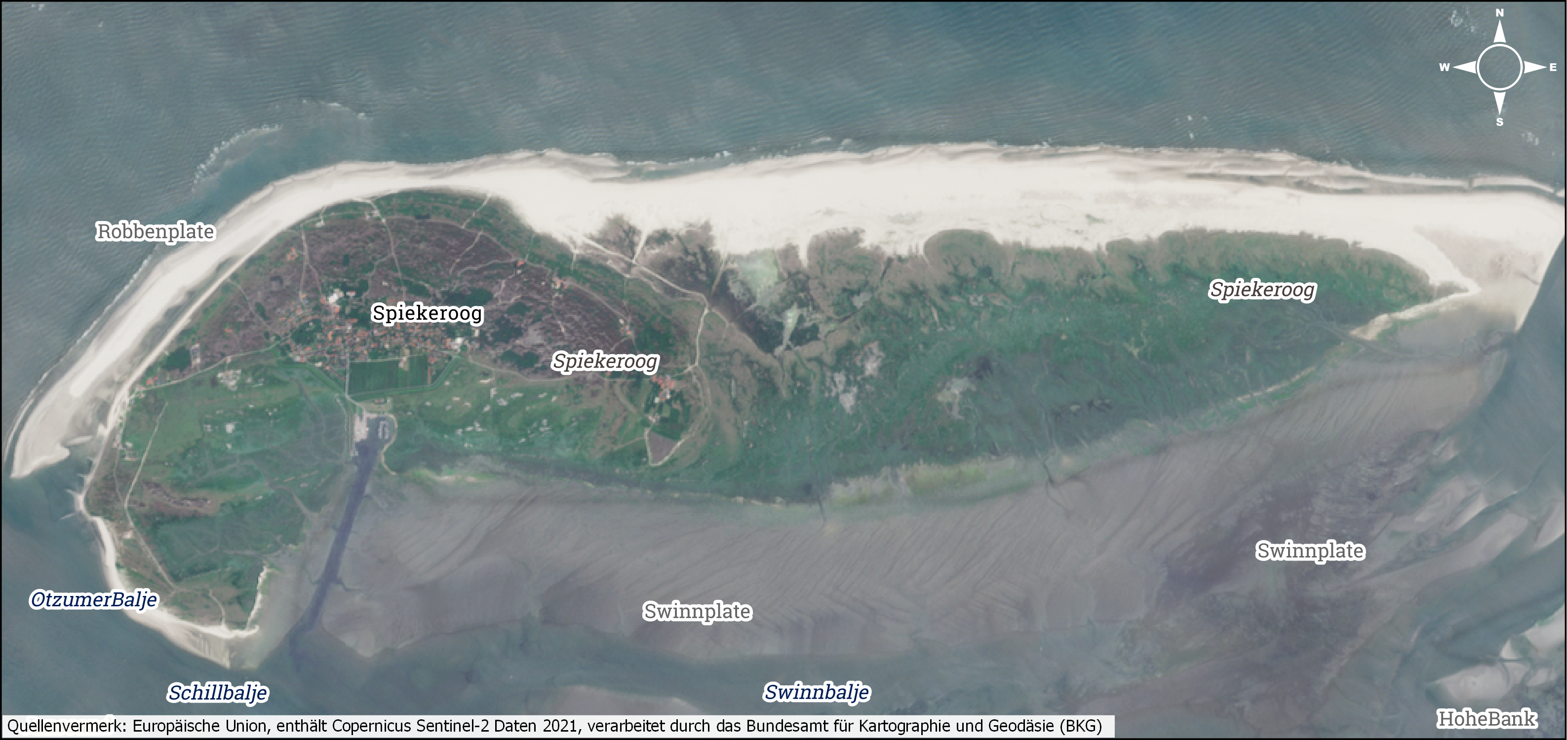
In 2021, the data base comprised approx. 12,000 geographical names from the coastal forefield of the North Sea and the Baltic Sea originating from approx. 200 sources, including the maps “Geographische Namen in den deutschen Küstengewässern” (Geographical Names in German Coastal Waters) published by the Standing Committee for Geographical Names (StAGN), and nautical charts of the Federal Maritime and Hydrographic Agency from different years.
In the coastal forefield, channel systems and tidal flat ridges change their size, shape, and location as a result of morphodynamics. Thus, geometries for geographic objects are recorded at different times in the Coastal Gazetteer. Likewise, their designations are documented in the different local languages. In addition to individual historical photographs, there is an overall record of the North Sea and Baltic Sea coasts for the current state and the year 1975.
Use
The naming assets in the Coastal Gazetteer are used for consistent use of place names in metadata acquisition and research. Geographic names and associated geometries are included as a service in the MDI-DE Geoportal and are available for free use as WMS/WFS.
