Infrastructure

Technical infrastructure of the MDI-DE
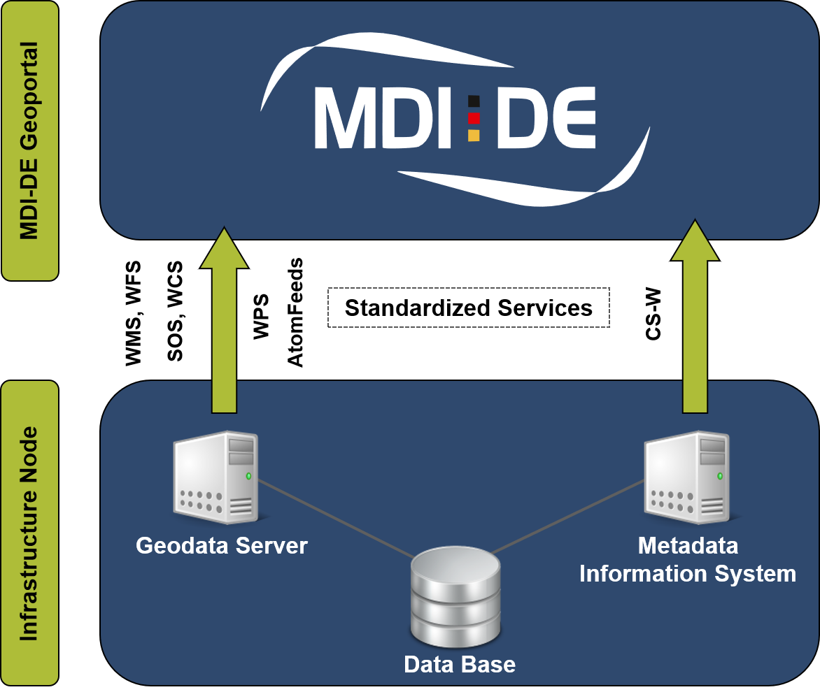
The MDI-DE consists of a network of information technology components to operate the MDI-DE Geoportal as a central entry point for coastal and marine data. For this purpose, metadata from different sources are merged for a common search. Standardized Web services are used to make the data accessible on distributed web servers.
Using the interfaces specified by the Open Geospatial Consortium (OGC) for visualization with the Web Map Service (WMS) and for download with the Web Feature Service (WFS) ensures data consistency from the source to the target systems.
Metadata is exchanged via the standardized Catalog Service Web (CSW) interface. The MDI-DE network relies on connected infrastructure nodes that provide information relevant to the subject portal.
In addition, data for MDI-DE’s own services is mirrored on a central server in order to optimize response times and provide harmonized services for the project partners.
Infrastructure nodes
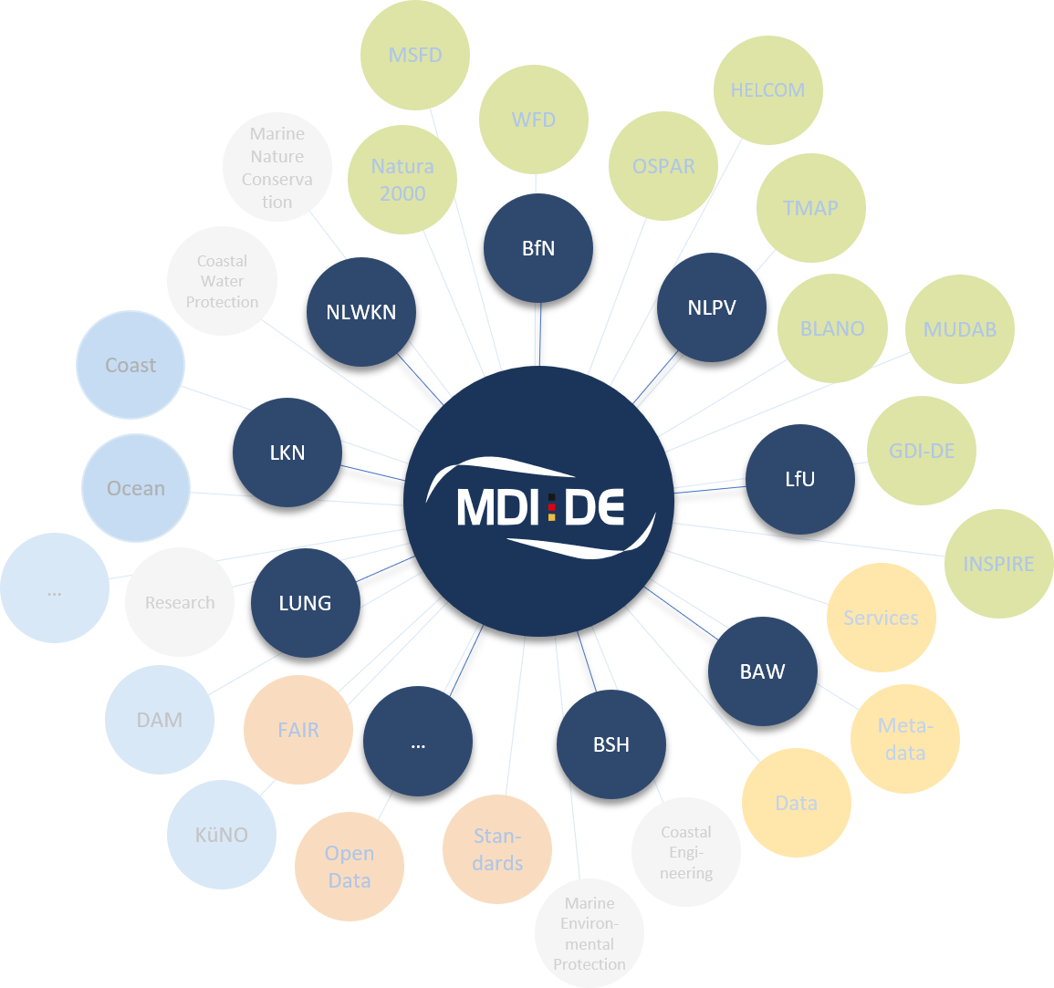
The participating federal and coastal state authorities are responsible for maintenance of the data and metadata inventories. They operate local databases and Web servers on which their data is prepared interoperably, i.e. in accordance with the applicable technical standards. This includes their quality assurance and demand-driven data updating, without which provided services quickly lose relevance.
These distributed and individually operated IT infrastructures are called infrastructure nodes. They communicate with the MDI-DE geoportal exclusively via standardized catalog, download and map services.
The further development of the infrastructure nodes and the services offered is carried out in accordance with the applicable national and international guidelines and implementation regulations. These support transparency and traceability of MDI-DE working approaches.

Connection of an infrastructure node
The data and services available at each MDI-DE infrastructure node are described with ISO 19115 metadata and shared via a CSW interface. The MDI-DE metadata system (NOKIS: North Sea and Baltic Sea Coastal Information System) regularly retrieves these automatically and uses them to form a comprehensive search index for searching in the geoportal. In this way, information from different sources is retrieved and evaluated together.
At each MDI-DE infrastructure node, access to local data is provided via standardized services. In addition to map (WMS) and download (WFS, WCS) services, AtomFeed services have been set up for INSPIRE and processing services (WPS) have been implemented in R&D projects.
Details about the connection of an infrastructure node to the MDI-DE are described in a guideline.